Bandarban District
7 current upazilas
Evidence through 4 September 2026
Administrative boundaries are one layer among watersheds, customary geographies, routes, markets and lived places.
Source aliases resolve in the research ledger. Generated imagery is editorial, not documentary evidence.
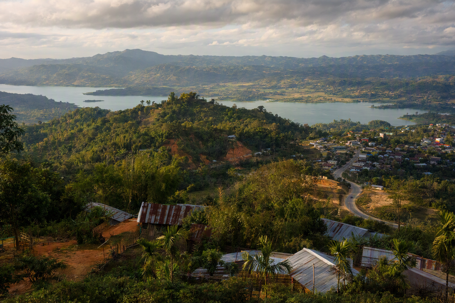
7 current upazilas
Bandarban · upazila
Bandarban · upazila
Bandarban · upazila
Bandarban · upazila
Bandarban · upazila
Bandarban · upazila
Bandarban · upazila
9 current upazilas
Khagrachhari · upazila
Khagrachhari · upazila
Khagrachhari · upazila
Khagrachhari · upazila
Khagrachhari · upazila
Khagrachhari · upazila
Khagrachhari · upazila
Khagrachhari · upazila
Khagrachhari · upazila
10 current upazilas
Rangamati · upazila
Rangamati · upazila
Rangamati · upazila
Rangamati · upazila
Rangamati · upazila
Rangamati · upazila
Rangamati · upazila
Rangamati · upazila
Rangamati · upazila
Rangamati · upazila
No place matches. .
| District | Upazilas | BBS ethnic-category share | Limit |
|---|---|---|---|
| Bandarban | 7 | 41.15% | Not an ethnic poverty, risk or politics measure |
| Khagrachhari | 9 | 48.93% | District average conceals local variation |
| Rangamati | 10 | 57.58% | Not a proxy for entitlement or conduct |
Upazila shares range from 16.52% to 95.35% [MS0304–MS0306]. Poverty estimates are model-based and require standard errors [MS0310]. Para-centre lists are not complete para registers [MS0258].
 Editorial image · generated, not documentary evidence
Geography · Population · Environment · Projects · Data catalogue