Evidence through 4 September 2026
Place profile
Select one of 29 structured district or upazila records.
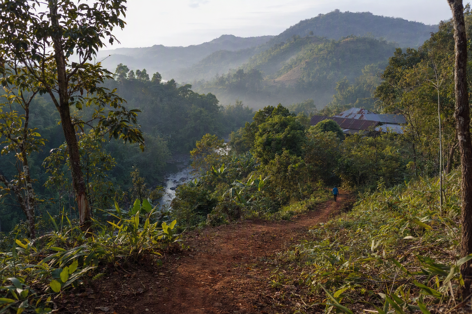
Source aliases resolve in the research ledger. Generated imagery is editorial, not documentary evidence.
Profile evidence
Dated indicators and definitions
Place profiles combine bounded indicators without collapsing distinct years, categories, or geographies into one composite score.
Select a place below. Population categories, poverty uncertainty, services, livelihoods and projects remain distinct.
| Measure | Must include | Must not imply |
|---|---|---|
| Population | 2022, BBS label, geography, denominator | Politics, poverty, conduct |
| Poverty | Model period, estimate, standard error | Ethnic or household rate |
| Services | Facility, staff, travel, quality, outcome | Presence equals access |
| Projects | Estimate through outcome stages | Spending equals benefit |
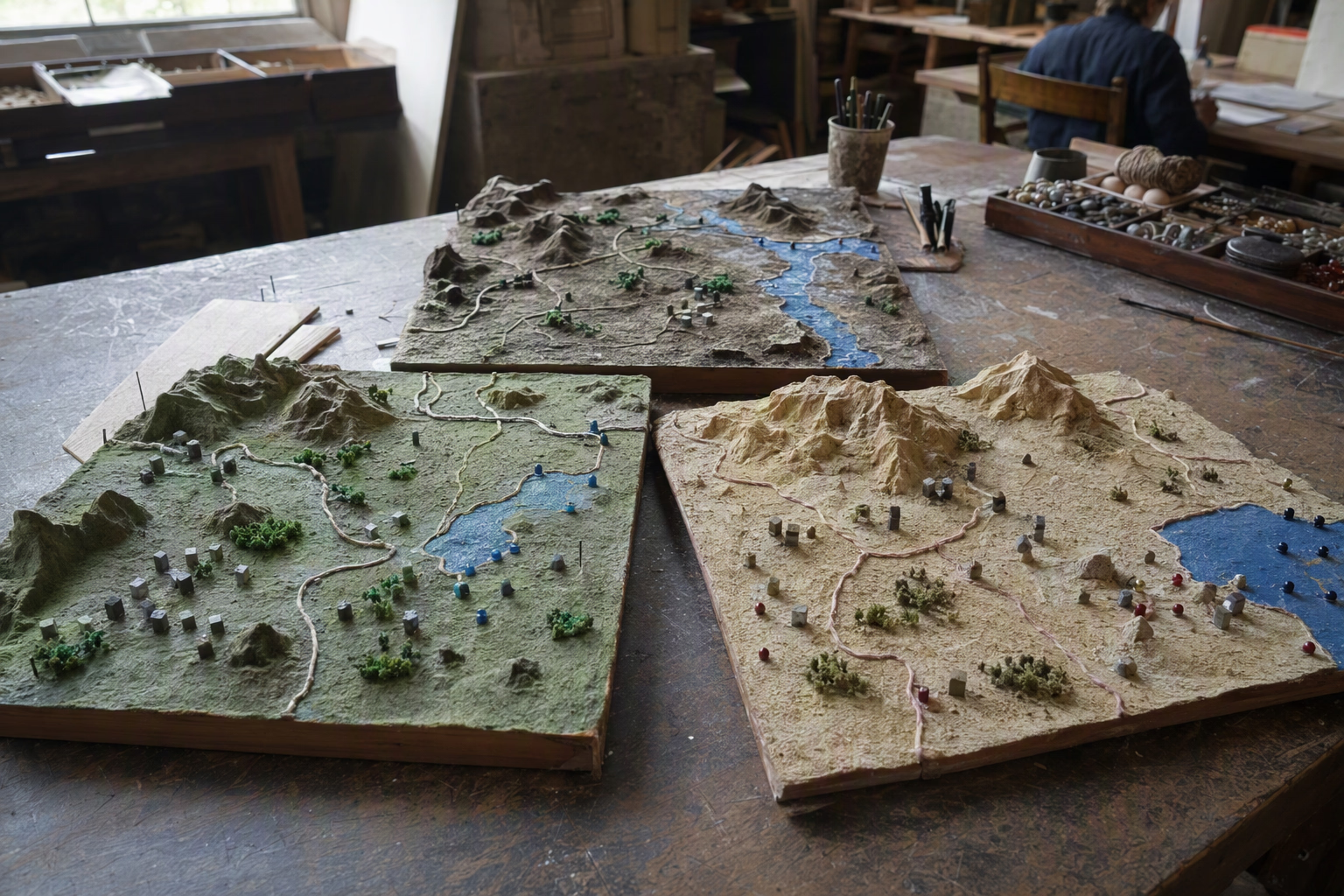 Editorial visual · generated, not documentary evidence
Safe local context and gaps
District-scale context only. No current routes, incident points, disputed parcels, rare-species sites or private records.
- Hierarchy: BBS [MS0304–MS0306].
- Poverty uncertainty: [MS0310].
- Para registers: current complete frame unavailable [MS0258].
- Gaps: representative travel, staffing, maintenance, livelihoods and environment.