Place
Begin with ridges, watersheds, roads, water routes, and the difference between current and historical boundaries.
Start here · regional orientation
The Chittagong Hill Tracts is a region of three present-day districts, many distinct peoples, folded terrain, changing boundaries, and institutions whose mandates often overlap. This guide starts with relationships, not a single defining statistic.
Research cutoff: 4 September 2026. Definitions and verification status travel with each claim.
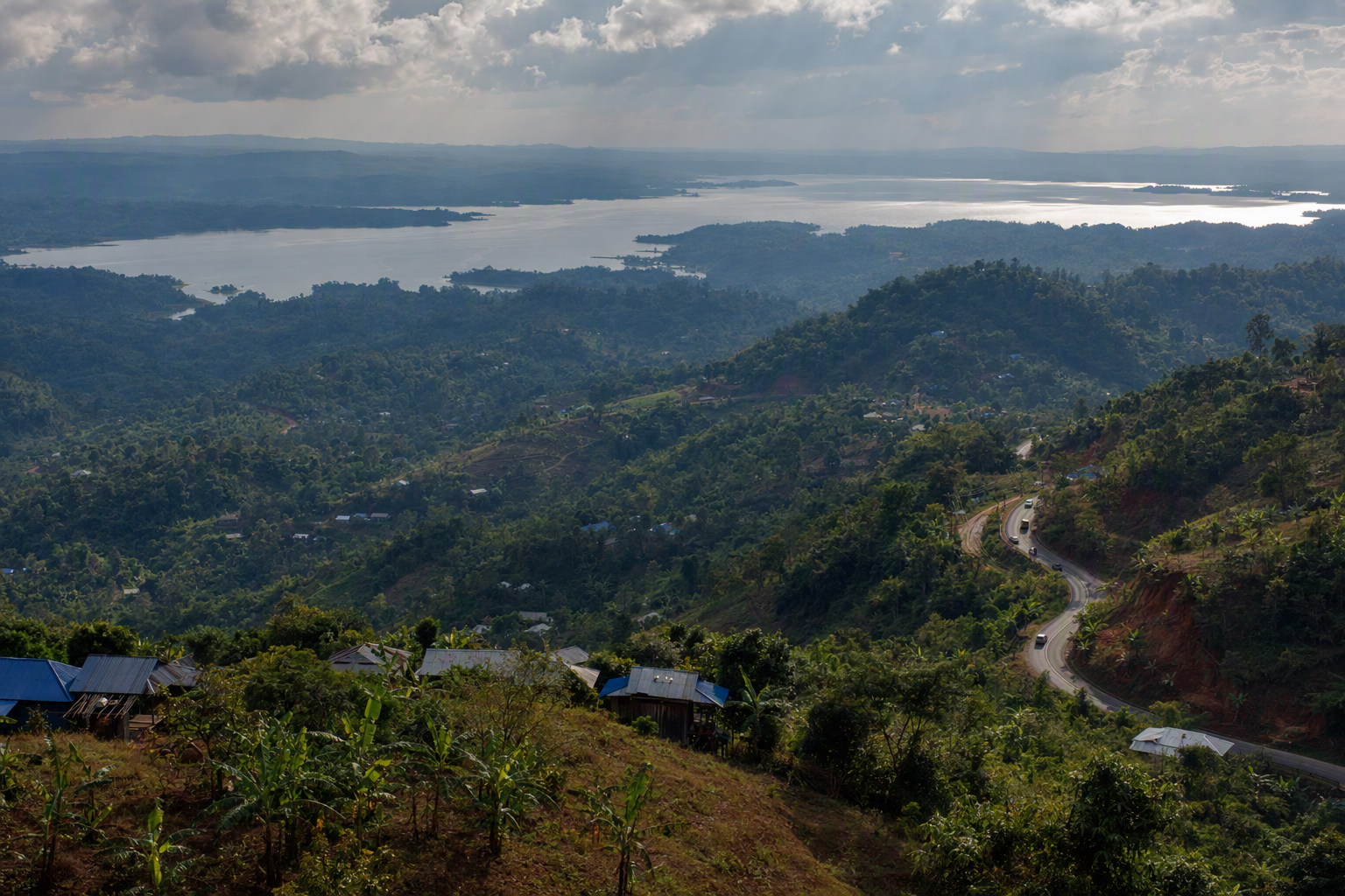 Editorial image · generated, not documentary evidence
A reading frame
Begin with ridges, watersheds, roads, water routes, and the difference between current and historical boundaries.
Use community-preferred names where available and avoid treating distinct peoples as one undifferentiated group.
Read law, institutional mandate, administrative practice, and lived outcomes as related but separate layers.
 Editorial image · generated, not documentary evidence
Questions before numbers
The atlas attaches definitions and cautions because familiar labels can conceal major differences.
Continue through the atlas
Boundaries, Kaptai, conflict, the Accord, and continuing memory belong to one connected chronology.
See why tenure, forest, water, mobility, and livelihoods must be read together.
Inspect sources, methods, data limits, corrections, and verification status.