Folded ridges
North–south ridge systems create short map distances that can become long journeys. Seasonal surface conditions can matter as much as kilometres.
Physical and lived geography
Terrain influences settlement, travel time, markets, schooling, health access, agriculture, water, and exposure to hazards. It does not determine outcomes by itself. Infrastructure, institutions, cost, season, and social conditions matter too.
Research cutoff: 4 September 2026. Definitions and verification status travel with each claim.
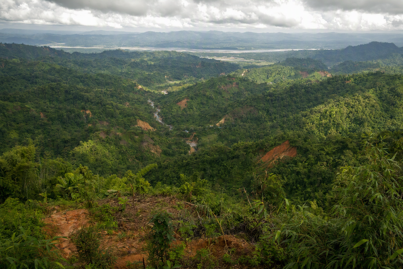 Editorial image · generated, not documentary evidence
Terrain as a system
North–south ridge systems create short map distances that can become long journeys. Seasonal surface conditions can matter as much as kilometres.
The Karnaphuli system, tributaries, streams, and Kaptai Lake support movement and livelihoods while also creating variable shore access.
Rain can change slope stability, road reliability, stream crossings, boat conditions, and the timing of essential travel.
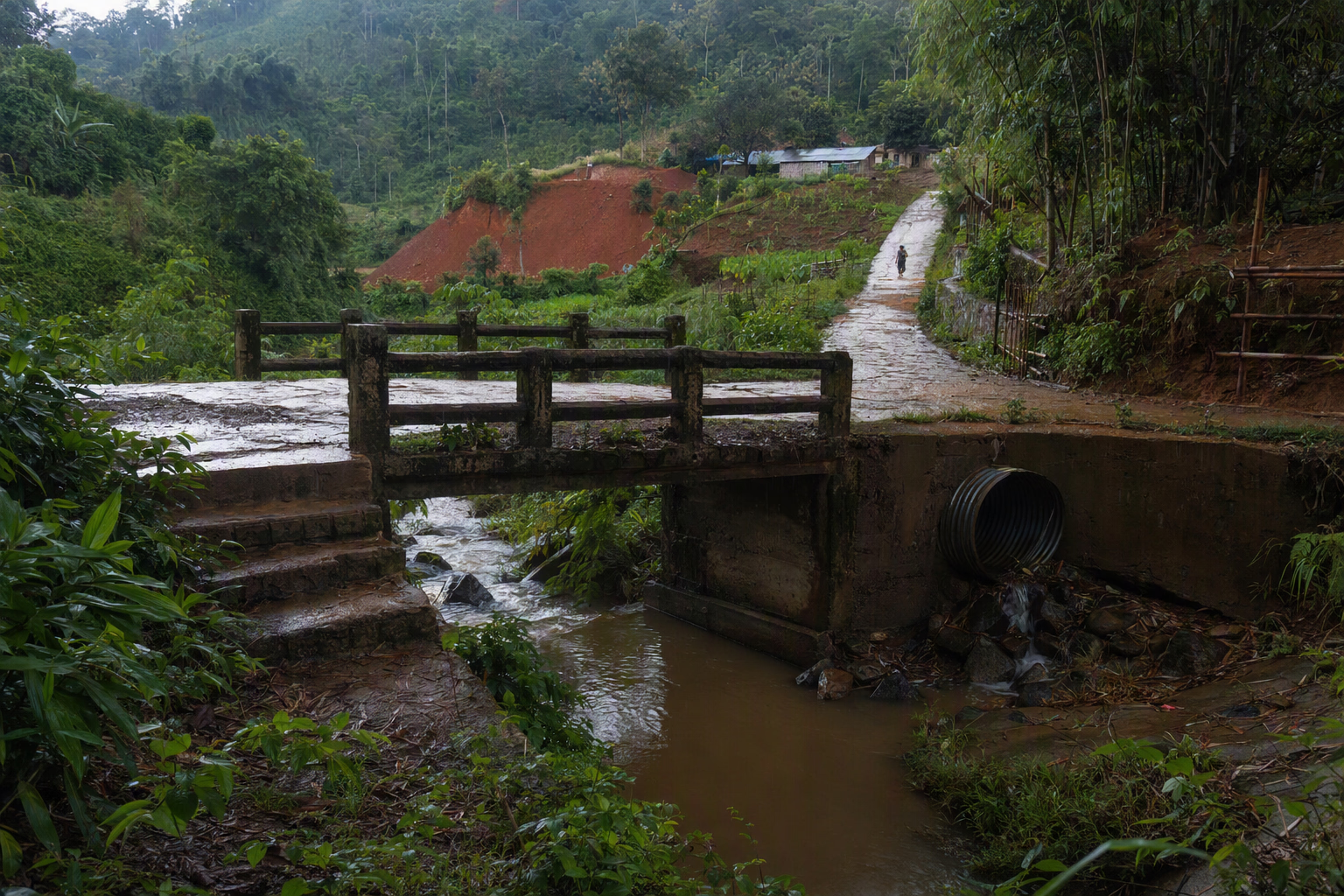 Editorial image · generated, not documentary evidence
Measure access honestly
A defensible account needs more than a dot on a map.
Related journeys
The three districts can be compared only with the warning that district averages are not local truth.
Follow forest, water, biodiversity, development, and climate pressures.
Examine access to livelihoods and services beyond facility totals.
The Feni, Karnaphuli, Sangu and Matamuhuri systems do not follow district borders. A future layer control must update map, keyboard-operable table, result summary and metadata together.
Rangamati monthly normals sum to a calculated 2,548.7 mm, but the BMD table omits its normal period. A 2017 Rangamati investigation linked extreme rain, weak weathered sediment, headwaters, drainage blockage, road cuts and settlement exposure. It is not a CHT-wide forecast. [MS0002][MS0003]