Legal designation
Use the current instrument, boundary, amendments and responsible institution.
Forest is not one category
A planted stand can be tree cover without providing the same habitat as a diverse forest. A legal forest label does not measure canopy condition. Community-managed space, jhum and fallow also require their own definitions.
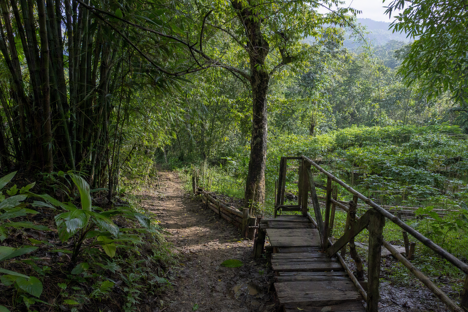
Definition matrix
Legal status, remote-sensed cover, plantation area, habitat quality, and locally governed forest are different observations. Each needs its own date, method, boundary, and uncertainty statement.
| Measure | What it describes | Source needed | Do not infer |
|---|---|---|---|
| Legal forest | A notified or administered legal category | Current law, gazette, boundary and amendment record | Present canopy, biodiversity quality or uncontested tenure |
| Forest cover | Land meeting a stated canopy or remote-sensing definition | Sensor, date, threshold, classification accuracy | Natural forest, species diversity or legal status |
| Plantation | Planted trees under a management regime | Species, age, extent and management record | Equivalent habitat or livelihood effect |
| Habitat | Conditions used by particular species or ecological communities | Taxon, method, season, effort and geography | CHT-wide presence from one observation |
| Village Common Forest | Locally governed forest or watershed space, with varied naming and arrangements | Consented community record and legal context | One uniform boundary, tenure or governance form |
Use the current instrument, boundary, amendments and responsible institution.
State the sensor, date, canopy threshold, classification method and accuracy.
Identify the taxon, season, survey effort and geographic scale of observation.
Record consent, naming, rules and tenure context without imposing one VCF model.
Process, not identity
Modifiers: fallow length, slope, soil, rainfall, fire, crop mix, market pressure and land access. No environmental effect should be attributed to an ethnic identity.
Reported roles may include water-source protection, access rules, forest products and habitat. These are hypotheses to document locally, not universal claims.
Do not publish exact locations of rare species, sacred places, vulnerable forest patches or community records without risk review and consent.
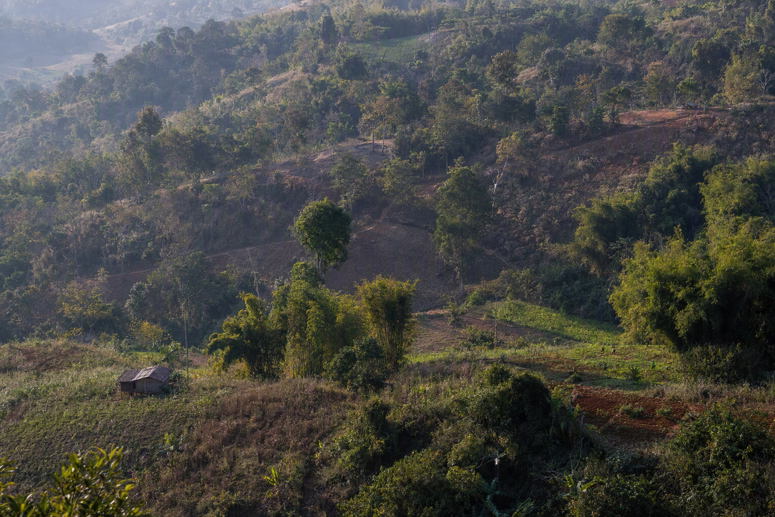 Editorial visual · generated, not documentary evidence